Recently I came across an article from Londonist, the online magazine, that featured a map of Anglo-Saxon London drawn by Matt Brown. It’s a terrific piece of work that depicts the geography of the area during the early Middle Ages and gives a sense of the sheer extent of the modern city. If you haven’t seen it yet, it’s definitely worth checking out. You can even download the full map to view offline.
On Thursday evening I posted a link to the map on my Facebook page. The following morning I found out that it had been shared by 19 people and reached an audience of 1,880. And that was just the start.
At the time of writing this article another two days later, the link has so far been shared no less than 171 times, and has been seen by more than 27,000 people on Facebook (see screengrab below).
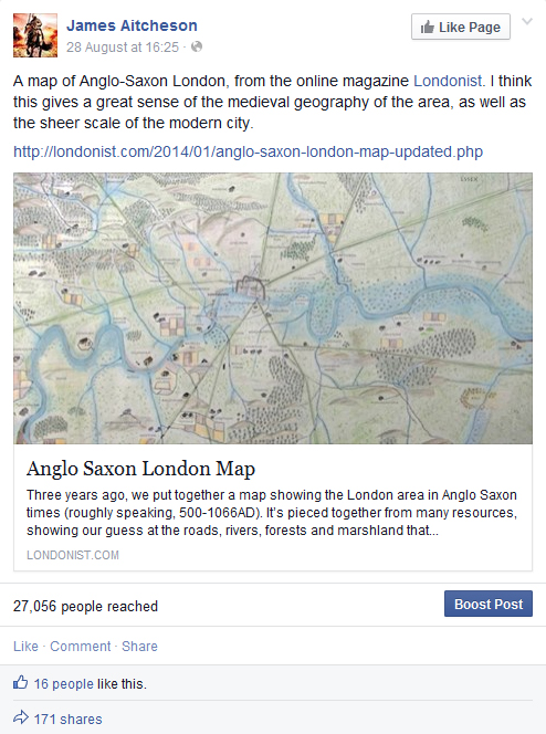
Screengrab taken from my Facebook page (31 August 2014) of the original post that included the link to Matt Brown’s map of Anglo-Saxon London.
In the grand scheme of things, maybe 27,000 isn’t a lot. What was impressive was the speed with which the link spread, firstly as my own followers shared it, and then as it was passed on by their friends, and their friends in turn, with people adding comments at each stage as they located places where they’d lived or grown up.
What’s great is that there are obviously a lot of people out there who are interested in London’s history. Not only that, but everyone who shared the link clearly saw within the map a personal connection that brought the history to life and gave it meaning for them.
For anyone who’s interested in finding out more, Matt’s written other articles for Londonist exploring how London’s rivers and boroughs got their names, which are well worth a read. (Clue: most of them derive from pre-Conquest, Old English roots, and some are older even than that.)
And I’ve written my own piece on the history of Anglo-Saxon London: a whistlestop journey through the centuries, following the city’s evolution from the end of the Roman period to the construction of the Tower of London after the Norman Conquest.
Today I’m launching a brand new section here on the website! Eagle-eyed visitors might already have noticed the new link on the menu bar above, nestled between Bio and Blog. Entitled Tancred’s England, the idea is to offer an insight into the history behind some of the key places featured in the Conquest Series, and to share some of the research that goes into the writing of the novels.
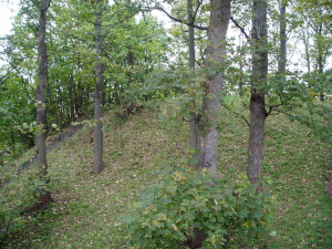
Baile Hill, on the western bank of the River Ouse, is all that survives of York’s second castle, constructed in spring 1069.
So far you’ll see that I’ve posted information about three locations, and there will be more to follow in due course. To begin with I’ve chosen to feature the two great Anglo-Saxon cities of York and London, as well as Ely and the Fens – where the English outlaw Hereward and his allies made their stand against King William in 1071.
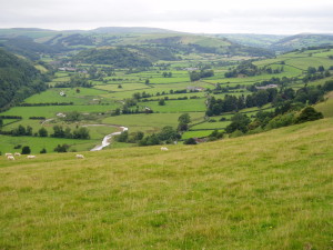
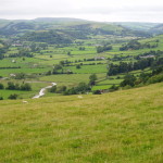
The valley of the River Teme to the north of Knighton, not far from Tancred’s fictional manor of Earnford. Taken from Offa’s Dyke Path, looking north-west.
I’ll be expanding the Tancred’s England section and adding fresh content to each of these pages in the coming months, with entries on Durham, Bristol and the Welsh March all in the works. So keep checking back from time to time to see what’s new, and if you have any suggestions for things that I could add or which you’d like to know more about, please get in touch with me via the Contact page.

